
Landuse Maps
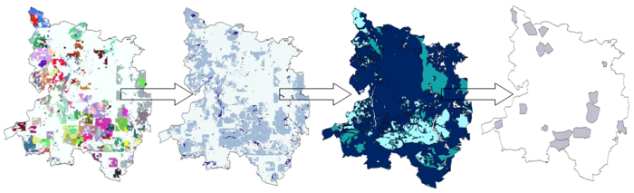
In MODAM landuse maps link together the research area and the research question. The graphical presentation of results from the MODAM economic and ecological evaluation via a GIS together with additional information gives the user the opportunity to make decisions based on the most sophisticated data available.

